/prod01/prodbucket01/media/durham-university/departments-/physics/teaching-labs/VT2A9034-1998X733.jpeg)
Astronomy & Astrophysics
Overview
Durham University is one of the UK's leading centres for astronomical research with world-class groups working in a wide range of fields covering the observational, theoretical and instrumentation aspects of astronomy. The level 4 project gives students the opportunity to work on and lead a project at the cutting edge of current research.
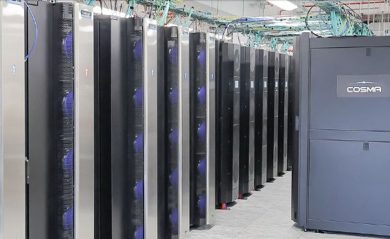 Fig.1 COSMA supercomputer
Astronomy projects cover a wide range of topics from planetary science to observational astronomy. Some projects involve analysing data collected from state-of-the-art equipment such as the Very Large Telescope or the James Webb Space Telescope. Others allow students to use the department's telescopes to run their own experiments and collect data. Astronomy projects can also be computational in nature.
Many projects use our supercomputer, COSMA V, to simulate astronomical objects such as moons or even galaxies. Others focus on planetary modelling or even researching the possibility of extraterrestrial life. We also often offer projects working with industrial partners, and with different research groups, allowing students to experience possible options for after University.
Projects:
Projects are updated regularly, but previous project topics have included:
- Orbital Constraints on Exoplanet Habitability
- Develop a Climate Model to investigate the effects of planetary, orbital and stellar parameters on the habitability of terrestrial exoplanets, including e.g. the susceptibility to possible transitions to 'snowball' states due to ice albedo feedback.
- Exotic gems: investigating galaxy properties with extreme gravitational lensing
- Explore a newly identified set of exotic lenses, using a powerful combination of JWST/HST imaging and MUSE spectroscopy, unlocking information about galaxy formation and evolution in the process.
- Water ice deposits in the Moon's polar craters
- Determine how much water ice is present in the Moon’s craters using remotely sensed data from NASA's ongoing LRO mission. Data from the laser altimeter produced an exquisite digital elevation map (DEM) that has sufficient precision to allow us to resolve thick water ice deposits. This project will involve developing software to analyse the DEM in search of water.